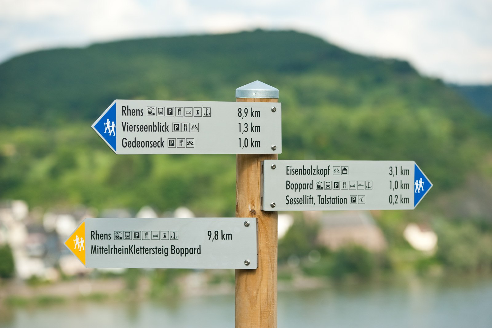
Signposts with a blue triangle show distances on the RheinBurgenWeg. The yellow ochre signposts indicate access paths leading to or from the RheinBurgenWeg from the railway stations and town or village centres. These signposts are also used at Rhine crossings (bridges and ferries) to indicate the access routes to the Rheinsteig trail on the right bank of the Rhine. Please note: In many cases, the RheinBurgenWeg may not necessarily be the shortest route between two towns/villages or landmarks, but it is definitely the most scenic.
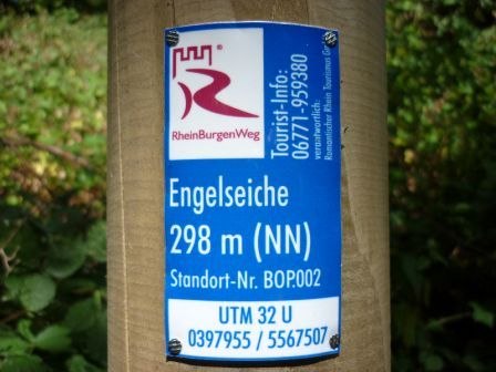
 There is a location indicator on each signpost. In addition to indicating height above sea level and location, this also displays the UTM coordinates. Users of GPS (Global Positioning System) devices can use these coordinates, which are based on the Universal Transverse Mercator projection, for orientation purposes. Location signs also give the tourist telephone number for RheinBurgenWeg hikers (0261-9738470). This is the number of the hikers’ information office (Wanderbüro) of Romantischer Rhein Tourismus GmbH. The staff here provide a comprehensive tourist information service.