RheinBurgenWeg waymarking | © Dominik Ketz

Waymarking

No risk of getting lost

It’s impossible to get lost on the RheinBurgenWeg trail. The convenient, closely-meshed waymarking system has been implemented in accordance with the signage rules of the German Hiking Association.

The clear waymarking at all path junctions ensures that you always keep on track. If there’s a change of direction, there will always be a plaque with an arrow indicating the turn-off, either before or directly at the junction. These are immediately followed by route confirmation signs. You’ll also find reassurance markers at regular intervals. The markers consist of painted logos, laminated plastic plaques or stickers.


Waymarking on the RheinBurgenWeg

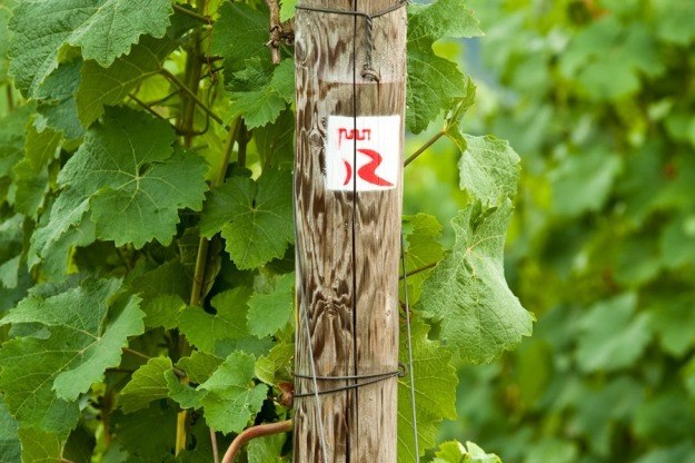
© Dominik KetzA stylized red R on a white background symbolizes the Rhine and its meandering course, which is characteristic of the Middle Rhine. The R is crowned by a battlement, symbolizing the many castles and fortresses along the Middle Rhine Valley, which are linked by the RheinBurgenWeg.

Access Routes to the RheinBurgenWeg

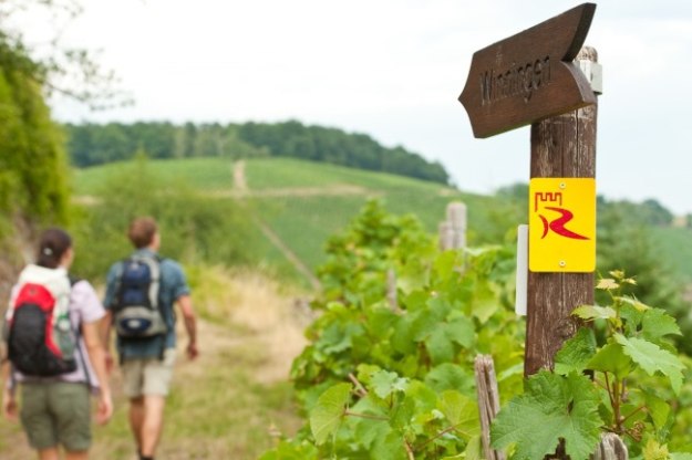
Access route waymarking | © Dominik KetzHere the same symbol is used, but on a yellow background. The access routes connect the RheinBurgenWeg with the town or village centres, prominent landmarks, railway stations and ferry landing stages. This means that after a hike, walkers can easily reach their train connections or accommodation and those arriving at railway stations can quickly join the RheinBurgenWeg.

Connections with the Rheinsteig Trail

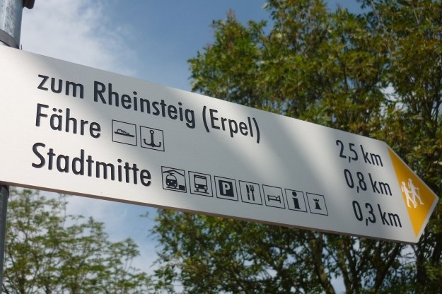
© Romantischer Rhein Tourismus GmbHAn access route to the Rheinsteig is indicated on all the Rhine ferries, so that hikers can easily combine both trails. There are also some other interesting hiking trails along the Rhine, so that when you walk the RheinBurgenWeg you also come across the Rheinhöhenweg, the Soonwaldsteig, various Premium Circular Trails and a number of local nature trails. When planning circular walks, you’re advised to use the hiking maps for orientation.